CDW CHATTANOOGA DRONE WORKS
← RETURN HOME

Projects

Project Examples for Mapping, Documentation, 360 Tours, Land, and Property Media

Explore recent aerial 360 experiences, a complete property presentation, and practical mapping and construction deliverables.

Latest work

See what the finished experience can do

Explore a demolition site, a complete property presentation, and a guided Chattanooga riverfront experience.

Site documentation

Hawk Hill Demolition 360

Explore the demolition site and surrounding riverfront in a detailed aerial panorama with zoom, full-screen viewing, and a location-history panel.

Aerial panorama & tour by Chattanooga Drone Works

Explore Hawk Hill 360 (opens in a new tab)
Fairview Road wooded acreage with the existing gold parcel orientation outline

Property marketing

Fairview Road Property Experience

Aerial photography, a property film, and three interactive 360 viewpoints in one branded page explaining access, setting, and the surrounding landscape.

Aerial media, interactive tour, and digital experience by Chattanooga Drone Works

View the Property Experience (opens in a new tab)
Downtown Chattanooga and the Tennessee River, featured in Riverfront 360

Guided destination experience

Chattanooga Riverfront 360

A guided aerial experience with clickable landmarks, information panels, supporting media, and full-screen viewing.

Chattanooga Drone Works presents Riverfront 360

Explore Riverfront 360 (opens in a new tab)

Have a place or project to explain? Discuss your project.

More work to explore

Maps, project records, and property examples

Each project combines the capture method, processing workflow, and delivery format needed to make the site or property easier to review and share.

Project gallery

More project examples

Explore the range of visual documentation and media available for active sites, land, and commercial properties.

Construction site aerial documentation project
Construction

Recurring Site Documentation

Aerial progress media and visual documentation for active construction sites.

Real estate listing aerial media project
Real Estate

Listing Media

Drone media for property marketing, listing launches, and broker-ready visuals.

Aerial 360 and property context project
360 Tours

Site Tour Context

Aerial and ground viewpoints that help people explore a site remotely.

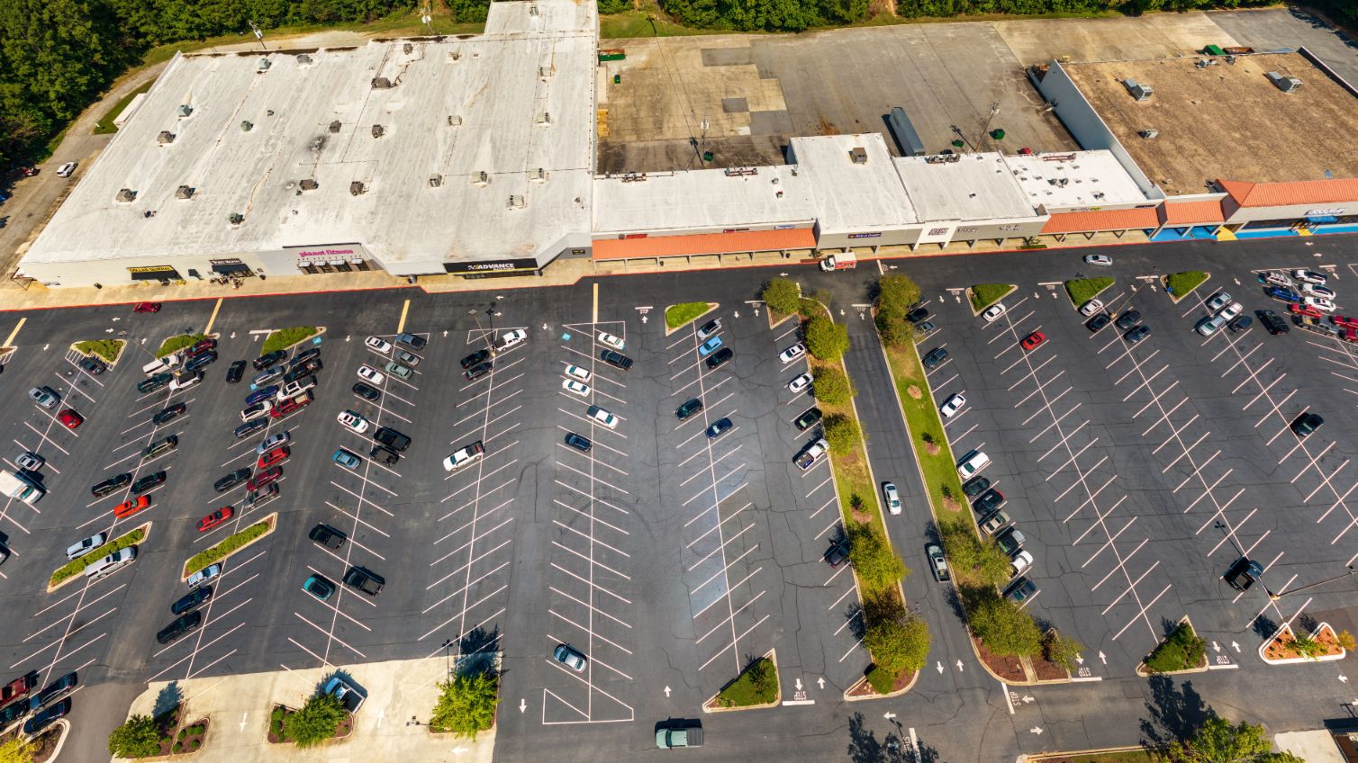
Commercial property drone media project
Commercial

Commercial Property Overview

Property context, building orientation, access, surroundings, and marketing media.

Before and after construction progress documentation
Progress

Progress Comparison

Before/after visuals that make site change easy to understand.

Drone visual inspection or site documentation project
Inspection

Visual Site Documentation

High-resolution drone imagery for review, records, and project context.

How projects are built

From project need to usable deliverables

Project Need

Define what the client needs to understand, document, market, inspect, or share.

Capture Plan

Plan site access, flight positions, ground coverage, timing, and required source files.

Workflow

Capture and process the imagery, mapping, tour, portal, or edited media needed for the project.

Deliverables

Photos, video, orthomosaic, web map, 360 tour, before/after comparison, property page, or report-ready files.

Business Value

Make review, buyer understanding, progress visibility, marketing, or decision-making easier.

Delivery

Provide organized files, hosted links, maps, tours, reports, or custom portals ready to use and share.

Project intake

Have a site, property, or project that needs visual documentation?

Send the location, project type, timeline, deliverables, and any plans, maps, or reference files you already have.